


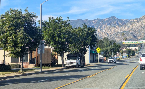
A stroll by City Hall during the storm (File Photo – ColoradoBlvd.net)
Residents of the Greater Pasadena area and San Gabriel Valley are preparing for a series of storms and the possibility of thunderstorms starting Thursday.
By News Desk
As the forecast calls for a 30 percent chance of showers Thursday afternoon and an 80 percent chance of rain Thursday night, local residents are reminded to be prepared for the upcoming weather. Pasadena and Altadena areas are bracing for potential rain and storms, with conditions expected to worsen through the weekend.
Starting Thursday afternoon, expect partly sunny skies with temperatures reaching around 73°F. Winds will be mild, coming from the south at about 10 mph, with gusts up to 15 mph. However, after 4 p.m., there’s a 30 percent chance of showers. As the evening progresses, the likelihood of rain increases, with showers expected to begin after 10 p.m. and a low temperature around 54°F. Winds will shift to the southeast at 10 mph, and there’s an 80 percent chance of rain, with new precipitation amounts between a tenth and a quarter of an inch.
Rain is expected to continue through Friday, with a high near 59°F. Showers are likely throughout the day, accompanied by southeast winds at 10 mph, gusting up to 15 mph. New precipitation amounts could reach between three-quarters and one inch. Friday night will bring more showers, with a possibility of thunderstorms, some of which could produce heavy rainfall. Temperatures will dip to around 53°F, and there’s a 70 percent chance of precipitation.
Saturday’s forecast remains wet, with showers likely throughout the day and the possibility of thunderstorms. Heavy rain could occur, especially in the afternoon and evening. Temperatures will peak around 61°F before dropping to 50°F at night.


Leave a Reply