


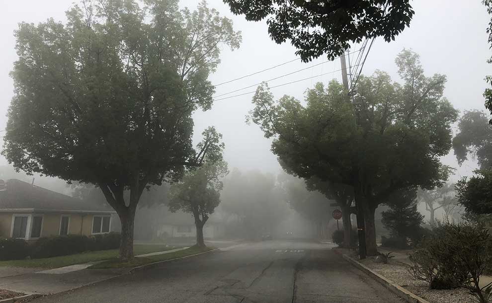
Fog in Pasadena (Photo – John Filipe)
An early-season storm is set to impact the Pasadena area and the San Gabriel Valley beginning Monday night, bringing significant rainfall, the threat of thunderstorms, and the potential for flash flooding, particularly near recent burn scars.
By News Desk
According to the latest forecast, Monday will begin with cloudy skies that gradually clear to mostly sunny conditions, with a high near 70°F. Winds will shift from the east-southeast to the south throughout the day, with gusts up to 15 mph.
However, conditions are expected to change quickly Monday night. Showers are likely to begin in the evening and intensify after 11:00 pm, with a chance of thunderstorms. Overnight lows will drop to around 54°F. Rainfall totals between a quarter and half an inch are possible, and winds will strengthen, with gusts reaching up to 20 mph.
The storm will peak on Tuesday, bringing widespread showers and possible thunderstorms throughout the day. Highs will remain cool, near 59°F. Forecast models predict between one and two inches of rain, with localized areas potentially receiving more due to strong storm cells. South-southwest winds may gust up to 20 mph.
Flood Watch Warning
A Flood Watch is in effect from Monday evening through Tuesday afternoon for areas in and around recent burn scars in Los Angeles County, including the Eaton and Bridge burn areas. Forecasters warn of possible flash flooding and debris flows in these vulnerable zones, with rainfall rates reaching 0.25 to 0.50 inches per hour—and up to 1 inch per hour if thunderstorms develop.
Flooding is also possible in low-lying or poorly drained urban areas. Officials are urging residents to avoid flooded roads and to be prepared for potential evacuation orders in debris flow-prone locations.
Conditions are expected to improve Tuesday night, with only a slight chance of lingering showers before skies begin to clear. Dry, sunny weather is forecast for the rest of the week, with temperatures gradually warming—from the mid-60s on Wednesday to the mid-70s by Friday.
Detailed Forecast
Indigenous Peoples’ Day/Native American Day (Monday):
Cloudy, then gradually becoming mostly sunny, with a high near 70°F. East-southeast wind 5–10 mph becoming south in the morning. Gusts up to 15 mph.
Monday Night:
A chance of showers early, then showers and possibly a thunderstorm after 11 p.m. Low around 54°F. Southeast wind 10–15 mph, with gusts up to 20 mph. Chance of precipitation: 80%. Rainfall amounts between 0.25–0.5 inches possible.
Tuesday:
Showers and possibly a thunderstorm. High near 59°F. South-southwest wind 10–15 mph, with gusts up to 20 mph. Chance of precipitation: 100%. Rainfall totals between 1–2 inches expected.
Tuesday Night:
A 20% chance of showers before 11:00 pm. Partly cloudy, with a low around 48°F. South-southwest wind 10–15 mph becoming light and variable. Gusts up to 20 mph.
Wednesday:
Sunny, with a high near 66°F.
Wednesday Night:
Mostly clear, with a low around 47°F.
Thursday:
Sunny, with a high near 71°F.
Thursday Night:
Clear, with a low around 51°F.
Friday:
Sunny, with a high near 76°F.
Friday Night:
Clear, with a low around 53°F.


Leave a Reply