


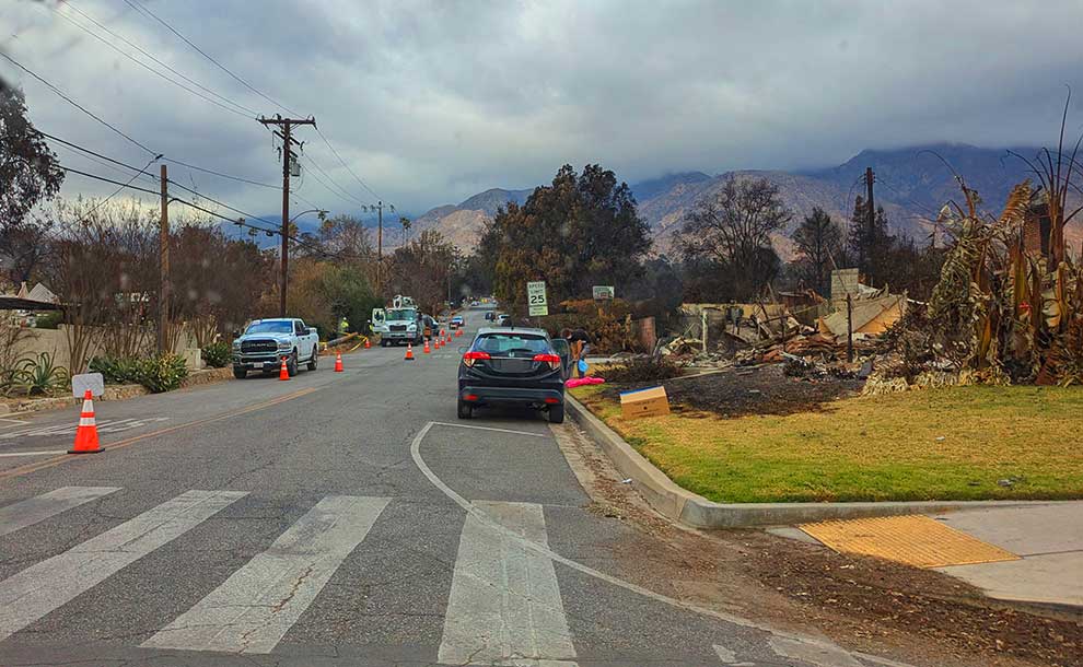
 Residents are urged to familiarize themselves with the updated Fire Hazard Severity Zone maps released by Cal Fire.
By News Desk
This revision is part of an ongoing effort by the State Fire Marshal to more accurately identify areas in California that are especially vulnerable to wildfires.
The Fire Hazard Severity Zone maps are developed using factors like fire history, terrain, and weather patterns to assess the likelihood of fire risks. These updated maps offer a clearer understanding of fire-prone areas, categorizing them into three levels of hazard: moderate, high, and very high.
Similar to flood zone maps, which predict the potential for flooding, the Fire Hazard Severity Zone maps highlight natural conditions that contribute to fire risks over the next 30 to 50 years. However, the maps do not factor in variables such as home improvements or local wildfire prevention measures.
The Fire Hazard Severity Zones also influence real estate disclosures and are considered when planning new developments in the area. Residents can visit CCal Fire’s website and use their interactive map to determine whether their property is located within one of these hazard zones.
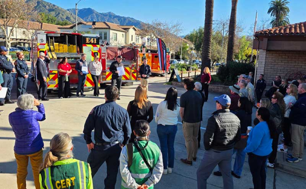
The Pasadena Fire Department is planning to provide more information about the updated maps at an upcoming Public Safety Committee meeting. Residents will have the opportunity to learn more about the implications of these revised fire risk zones.
For more information and to access the interactive map, visit Cal Fire’s website.


Leave a Reply