


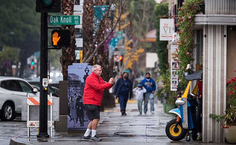
Pasadena, Oak Knoll and Colorado BLvd during a rain storm (File Photo – JerryShots)
As most of us know, we’ve had a cold, wet, unusual winter. Why unusual? We’ve been in a La Niña pattern which just ended after a 3-year run, bringing hot, dry winter to the southwest and increased hurricane power in the Gulf.
By Briony James
This is the first multi-year La Niña since 1950. Unusual indeed, considering how long it’s lasted and how wet it was this winter.
Wait a minute! What in the world does that mean? In the simplest terms, the siblings refer to the temperature of the Pacific Sea surface near the equator. The trade wind blowing westward during La Niña blow harder, creating powerful storms along the of Australia and pushing down the sea temperature which, in turn, pushes the jet stream further north. This determines the weather across much of the southern US: colder=drier La Niña, warmer=wetter El Niño.
With only a short period of neutral weather between, the National Oceanic and Atmospheric Administration’s Climate Prediction Center issued an El Niño watch this past Thursday. While an El Nińo state was anticipated for this coming autumn, it appears to be racing ahead earlier than expected. Both La Niña and El Niño generally affect our winter weather, an earlier than expected development of El Niño conditions could give us a damp autumn and certainly predict a wet, cold winter here in the southwest, while the Atlantic can look forward to a milder hurricane season and a drier winter.
El Niño is due to make a summer appearance! While we won’t feel most of its impact until winter, perhaps we will see a thunderstorm or two earlier! Here in SoCal, we never lament rain, so get those barrels ready!


Leave a Reply